
Greenburgh Previous Resident Sources
The strongest previous residents trail has two tracks. Title evidence follows parties in deeds and the legal description of the parcel. Occupancy evidence comes from directories, census schedules, permits, newspapers, obituaries, probate, cemetery information, and assessment records. Neither track is complete on its own. A deed can establish a recorded transaction without showing who lived in the house, while a directory can show a dated household clue without proving title. Start with the era in question and use the sources that actually cover it.
| Source | Years | Where | What It Shows |
|---|---|---|---|
| Westchester deed grantor/grantee records | 1680-1907 confirmed archival range; WRO advertises 18th-century forward | Westchester Records Online and County Archives | Title parties, recording, and legal description; exact WRO online cutoff is not stated. |
| Turner and Richmond directories | 1891-1917 verified runs | FamilySearch catalog and microfilm | Corridor household, address, business, and occupation clues. |
| NARA White Plains directories | 1928-32 | National Archives directory guide | Elmsford, Hartsdale, and Scarsdale entries in White Plains volumes. |
| Federal census schedules | 1790-1950 released | NARA, Census Bureau, and FamilySearch | Household and neighboring sequence; the 1890 schedule is largely lost. |
| Assessment and building records | Current and archived material; no earliest online year published | Greenburgh GIS, Archive Center, and Building Department request | Parcel, owner, assessment, permit, certificate, or plan context. |
Use the current GIS card when the address is known. Use a directory and census pair when the goal is past residents who may not have owned the parcel. For older deeds, maps, estates, and naturalizations, the County Archives is the historical bridge. A building-record request can add a dated place clue, but it is not a public household list.
Greenburgh Property Records First
Fix the parcel before attaching people to it. In the Town of Greenburgh GIS, accept the notice, use the search tool, enter the street number and street name without the suffix, and select the parcel. The Assessment area links to the CAI Property Card, tax map, survey, building sketch, current tax rates, and assessment rolls. Record the street address, parcel ID, alternate or former SBL, owner and mailing block, and map or survey references.
A situs address is the physical parcel location. A mailing address is where tax correspondence goes, and it can belong to a bank, an LLC, an attorney, or a person elsewhere. The owner shown on a card is therefore a lead in the title chain, not proof of current occupants. A former SBL or alternate ID can be more durable than an address when a road name, lot, or numbering pattern has changed.
Note: Save the parcel card and map date before comparing older records, because an address match without a parcel match can join separate properties.
Greenburgh Deed Records and Archives
Westchester Records Online groups Land Records, Legal Records, Maps, and Trades searches. Public discovery starts free, while images and reports require an account or licensed access. Its landing page advertises records from 18th-century deeds to recent filings, but it does not state one online imaging cutoff. Do not fill that gap with an assumed year. If an image or older volume is needed, ask the County Clerk's Land Records Division for the deed or copy.
For the historical segment, Westchester County Archives in Elmsford confirms grantor and grantee deeds from 1680-1907, mortgagor records from 1680-1897, estate records from 1782-1909, and maps from about 1766 forward. The public Reading Room is open Tuesdays and Wednesdays, 9 a.m. to 4 p.m., with photo ID and registration. Its research-by-mail service offers a specific record option and custom research when an in-person visit is not possible.
Recorded deeds may use a lot, farm, road, adjacent owner, or metes-and-bounds description rather than a current house number. Use the WRO Maps mode, County Archives maps, town tax maps, and surveys to keep the legal parcel continuous.
Trace Greenburgh Previous Residents
For previous residents, work backward from a present parcel without claiming that every title party lived there. The County Clerk's process starts with the present owner as grantee, then traces the seller as a prior grantee. The legal description, lot, subdivision, map reference, and adjacent-property clues are the safeguards against a same-name or same-street mistake.
- Open the Greenburgh GIS card and copy the parcel ID, legal description clues, current owner, alternate or former SBL, and tax-map or survey reference.
- Search the current owner as grantee in WRO Land, then record the grantor, recording date, document or book-page reference, legal description, and image or report status.
- Search that grantor as a grantee to locate the earlier acquisition, checking every time that the legal description and lot still fit the same parcel.
- Repeat the chain while noting mortgages, satisfactions, easements, map references, and any corporate ownership that needs separate identification.
- When the search reaches older material or an unavailable image, use the County Clerk counter or the Archives' 1680-1907 deed indexes and underlying records.
- Grantor and grantee
- The grantor transfers an interest in a recorded deed; the grantee receives that interest.
- Chain of title
- The ordered series of recorded transfers connected to one legal parcel, not a list of everyone who lived there.
- Legal description
- The lot, block, metes-and-bounds, map, or parcel wording that identifies land more reliably than an old street address.
- Metes and bounds
- A boundary description that follows distances, directions, landmarks, or neighboring land instead of a numbered lot.
Greenburgh Records Prevent False Matches
Maps prevent a familiar address from becoming a false chain. Compare the current parcel with the tax map, survey, map or plat references, and older County Archives maps. Older rural deeds can identify farms, road names, or adjoining owners. A parcel can also have several street frontages, while an old house number may have been replaced. The geographic evidence must travel with the name evidence.
Locality is another check. An old Greenburgh address may be listed under Hartsdale, Greenville or Edgemont, Elmsford, Fairview, East Irvington, North Elmsford, South Ardsley, a river village, White Plains, or Scarsdale. Search historic road names and nearby places before deciding a record is missing. Honorary street names are aliases to search alongside the legal name, not proof of a legal address change.
Greenburgh Directory and Census Records
After the title trail is mapped, use the household trail to test who lived there before. The verified Turner and Richmond runs cluster from 1891 through 1917, and the NARA White Plains volumes cover 1928-32. These are corridor and locality sources, not a standalone town run. The collection details, titles, and access cautions are described with the Greenburgh city directory collections.
FamilySearch's directory catalog provides a documented route to several Turner and Richmond microfilm items.
Use the catalog to preserve the exact title, publisher, year, locality, reel, and item before comparing a household line. A catalog entry is a finding aid, so the actual directory page remains the evidence for a printed name or address.
- Write the parcel's modern and historic locality labels, plus the street wording found in each source.
- Search the relevant directory heading by surname and address, then examine a street or household section when the volume offers one.
- Pair the result with the 1900, 1910, 1920, 1930, 1940, or 1950 federal census that brackets the date, and use the 1915 New York State Census where available.
- Compare house number, neighbor sequence, spouse or widow notation, and household composition, then test a change against a deed, assessment, permit, obituary, or probate record.
Census schedules through 1950 are released under the 72-year rule. The enumeration district or locality label can differ from the directory title, so it is safer to use the address and sequence than to rely on one place name.
Greenburgh Localities for Past Residents
Greenburgh's history explains why the same house can be indexed under several names. The town was created in 1788 and once covered territory later incorporated as Ardsley, Dobbs Ferry, Elmsford, Hastings-on-Hudson, Irvington, and Tarrytown. The town also includes unincorporated places such as Fairview, Greenville or Edgemont, Hartsdale, East Irvington, North Elmsford, and South Ardsley. A directory, census, deed, or postal label must be read as a dated geography.
For previous residents, write the exact locality used by each source rather than replacing it with a modern label. Search White Plains, Hartsdale, Scarsdale, Valhalla, Elmsford, and river-community headings in period directories. This local translation step often explains why one person appears to vanish between a deed and a census.
Note: A postal place, a village, and the Town of Greenburgh can describe the same area in different records without being interchangeable custodial labels.
Greenburgh Past Household Records
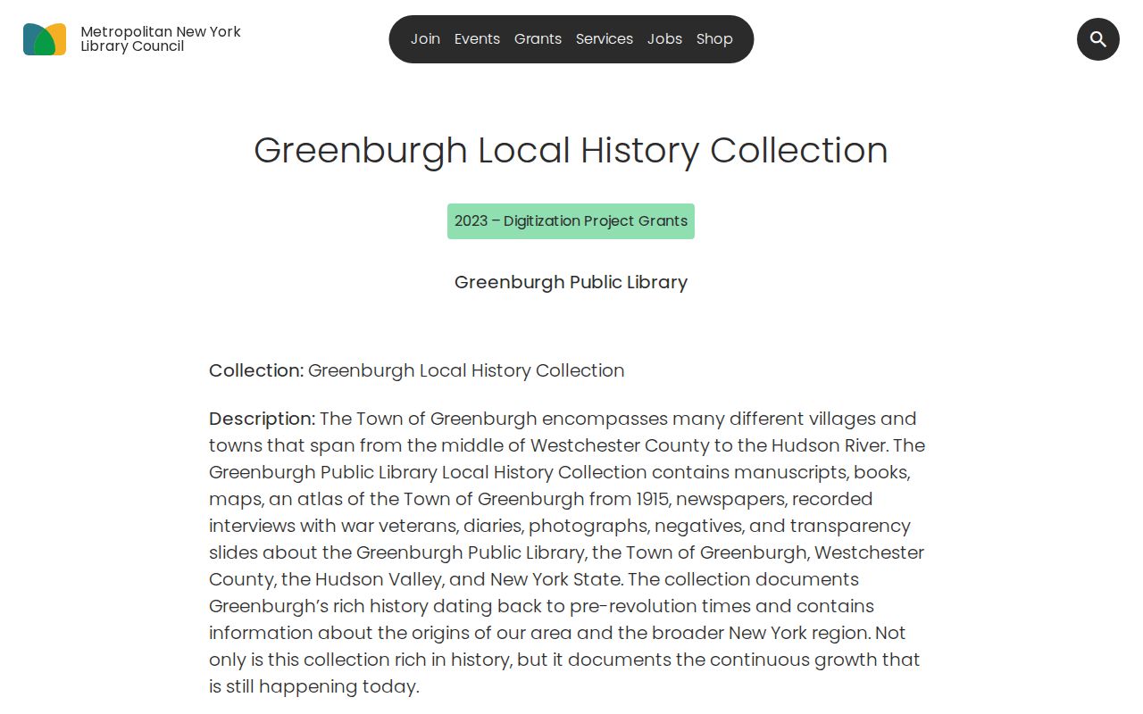
Past residents can leave a final trail in newspapers, probate, cemeteries, and local-history collections. Greenburgh Public Library identifies the Hartsdale Times, Elmsford Herald, and Edgemont Echo among digitized newspapers, while its local-history materials include the 1915 atlas, books, maps, diaries, veteran interviews, photographs, and manuscripts. Search a name, street, organization, event, and locality, then record the title, date, page, or item identifier.
METRO's description of the Greenburgh Local History Collection documents the digitization priorities behind these companion sources.
A dated obituary, cemetery entry, or Surrogate record can explain a household's disappearance from an address, but it should not be used to guess a move date. Westchester Archives' estate-record range is 1782-1909, and its maps, deeds, and genealogy files can help connect the household evidence to the parcel.
Lawful use. Use past-resident research for family history, local history, estate questions, or personal property research. Do not use records to track, harass, or harm a living person, and minimize the personal details copied into notes.